
Charts
British Admiralty Charts 1838,1840 and 2424 are required for use when navigating Bantry Bay.
Below charts are not to be used for navigation purposes.
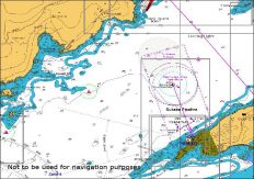
Chart 3
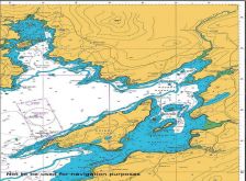
Chart 2
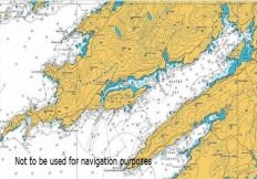
Chart 1
British Admiralty Charts 1838,1840 and 2424 are required for use when navigating Bantry Bay.
Below charts are not to be used for navigation purposes.